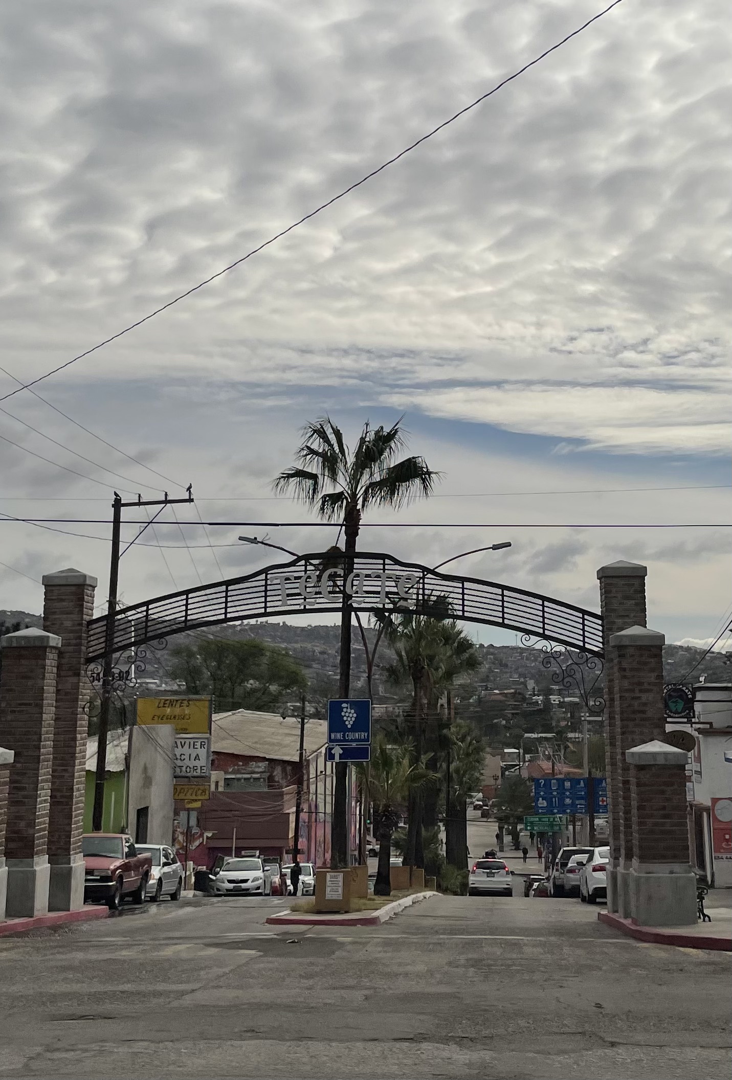
Canyon Tajo is a rock climbing site a bunch of us frequented years ago. It’s located in the Sierra Juarez mountains of Baja about 22 miles south of the US border. I last visited Canyon Tajo some 30 years ago and wanted to see how much it’d changed. I crossed into Mexico at Tecate. Carolyn and I had entered Mexico via Tecate on a visit to Valle Guadalupe earlier this year so the place looked familiar. However this time the streets were clear of tourists due to Covid. The lack of tourists made Tecate and this entire trip more pleasant.
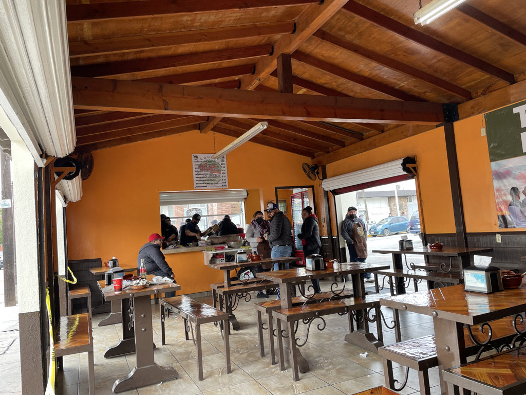
I crossed around lunchtime and headed to a Taqueria near the city center. Nice little place with a staff that’s very patient of bad Spanish.
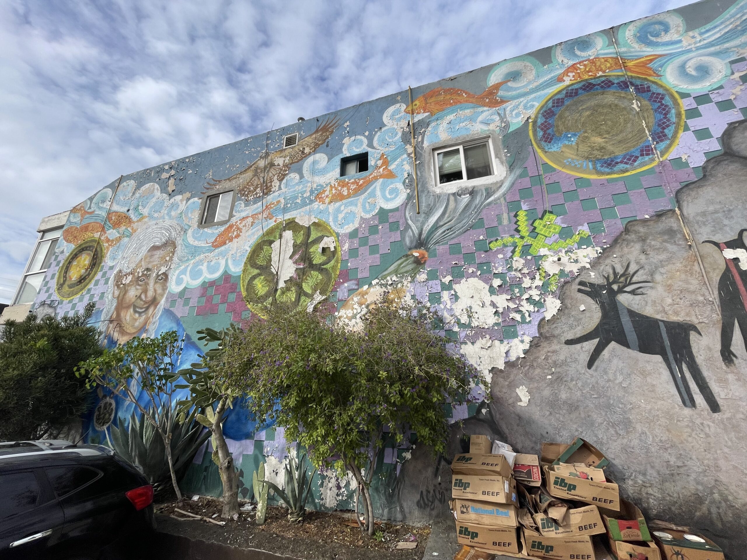
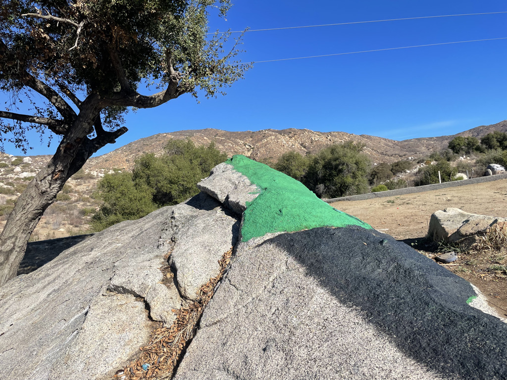
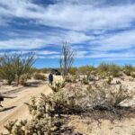
After lunch I stepped outside the restaurant to call Sid and let him know my plans prior to heading off road. Next shot shows my view while on that call – Mexican parking lot art.
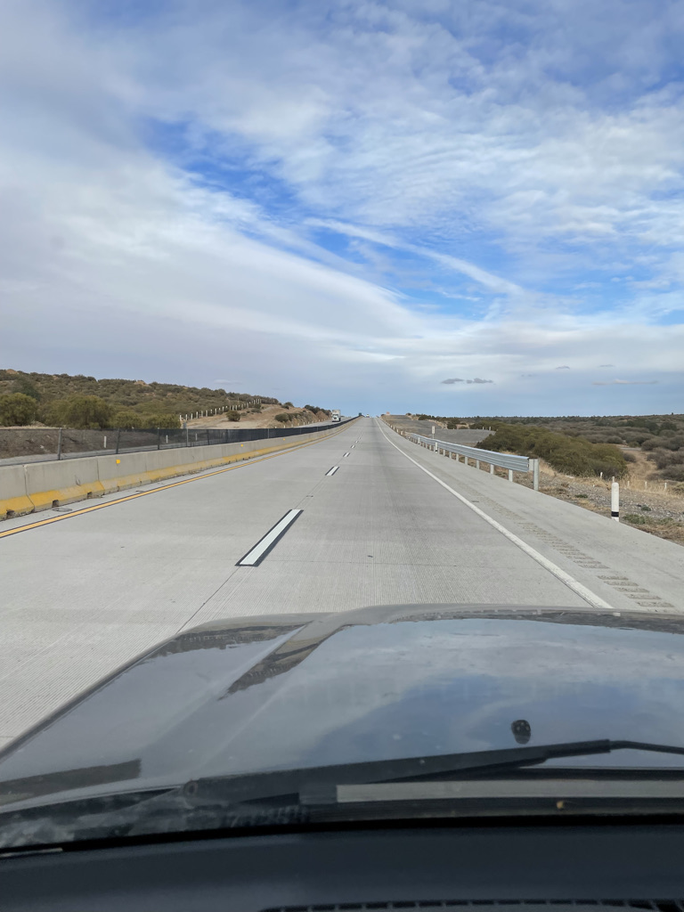
Its uncrowded and clear on the toll road heading east towards Mexicali looking for the village of La Rumorosa where I leave pavement and head south towards Canyon Tajo.
Leprechauns in La Rumorosa. Back in the day La Rumorosa was a small village with only a couple streets making finding the turnoff easy, however today La Rumorosa is a small city. I eventually found the road south but the search reminded me of a childhood story about an Irish guy that comes across a Leprechaun in the forest and is excited as he knows Leprechauns have to give you a pot of gold. He marks the location of his gold by tying his neckerchief to a nearby bush and heads home to get help recovering the gold. When he returns he can’t locate his gold as all the bushes in the forest have identical neckerchiefs attached. The road south was lost in a similar confusion of new look alike roads.
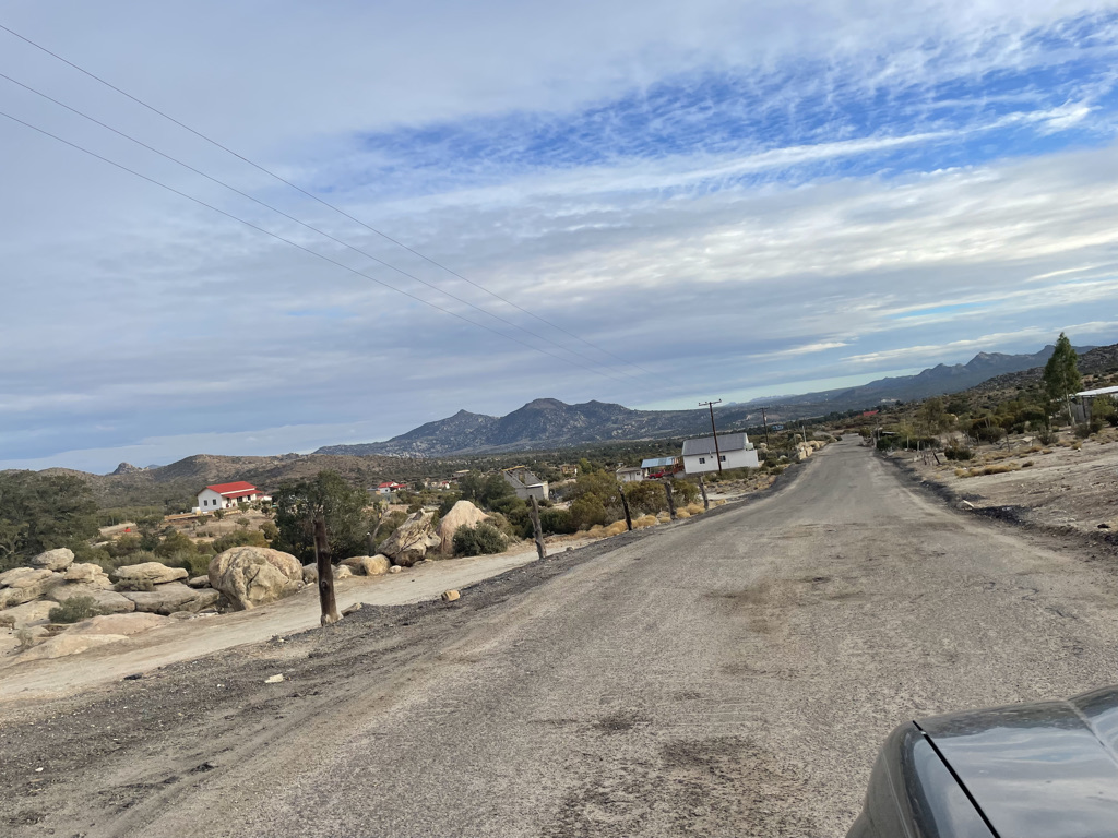
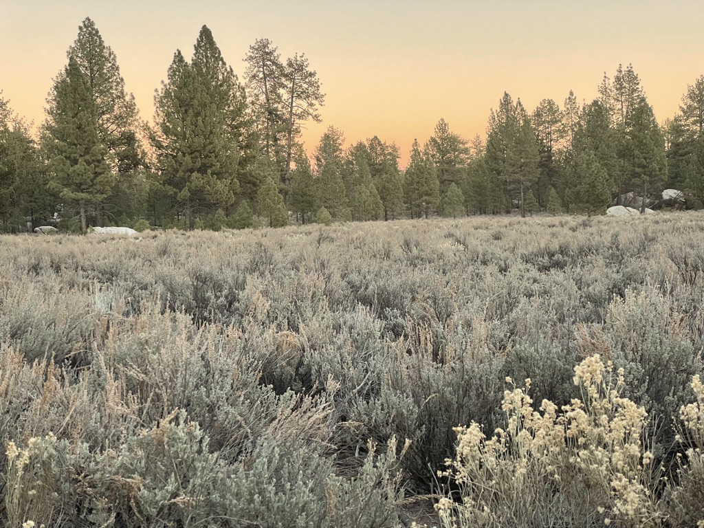
The road quickly becomes dirt with cute little houses then it starts to look just like it did years ago.
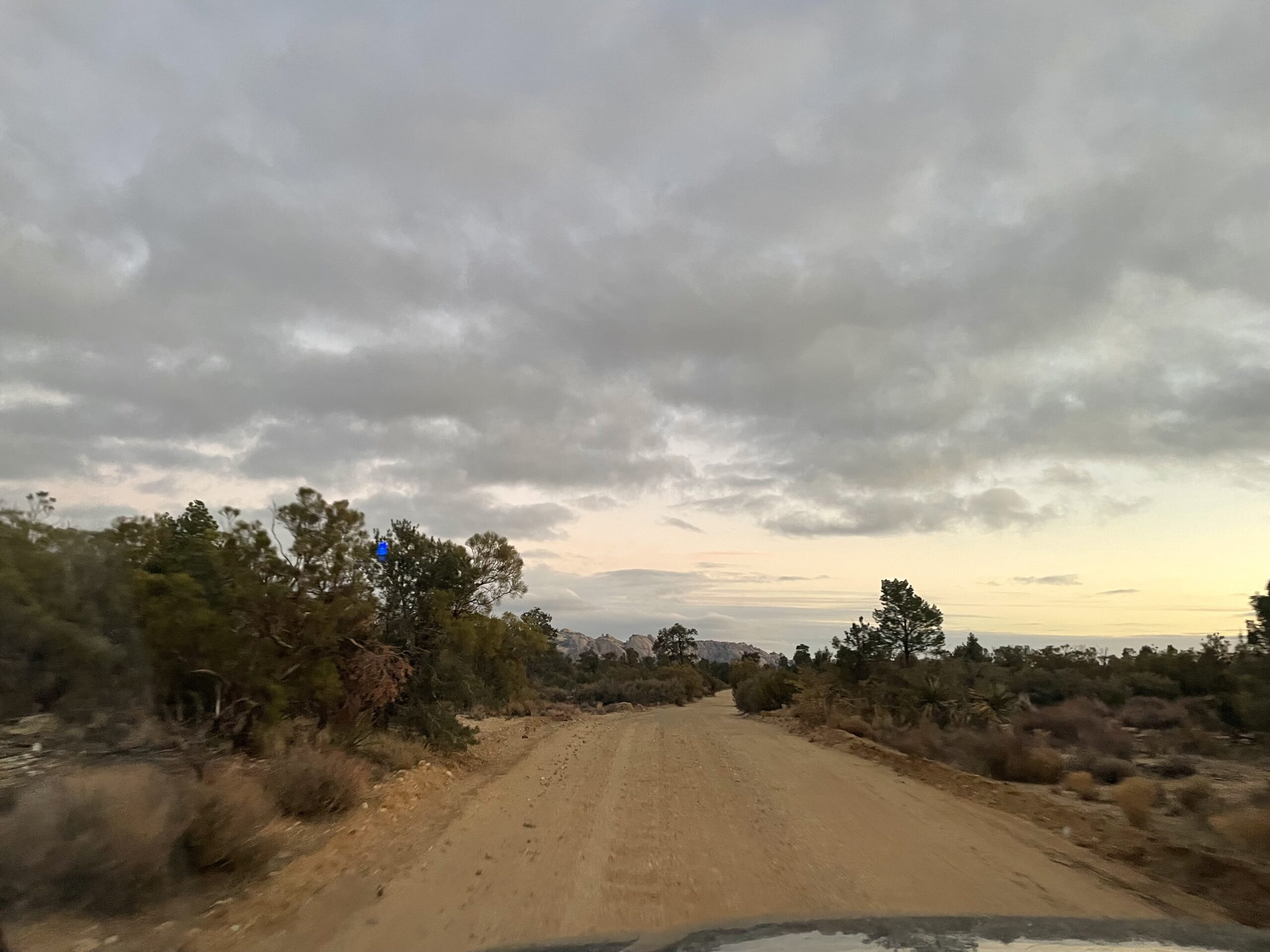
This is where I leave the nicely maintained dirt road for a maze of unimproved two tracks crisscrossing south-east towards Canyon Tajo. The sun is starting to go down. I’m running late. Oh, I forget to say why I’m running late. Back in Tecate two blocks from the Taqueria a police car pulls alongside me all lit up and gesturing to pull over. Jeez, this hasn’t happened in years. The cop asks if I speak Spanish and I say no so he launches in to perfect professional English. I know I’m in trouble. My strategy for dealing with this sort of thing revolves around exploiting the language barrier. That’s not going to work. He says I did a ‘rolling stop’ at a stop sign in front of the police station. He seems to suggest the offense was made worse by the location. Did I do a rolling stop? Probably, me and everyone else but that’s not a good defense so we do ‘lets go to the judge’ or you can pay me here dance. He starts off at $400. I balk and we discuss and end up at $60. Way more that I’ve ever paid but decades have passed since I was in a similar situation and prices must have risen plus I believe the lack of language barrier also made a difference.
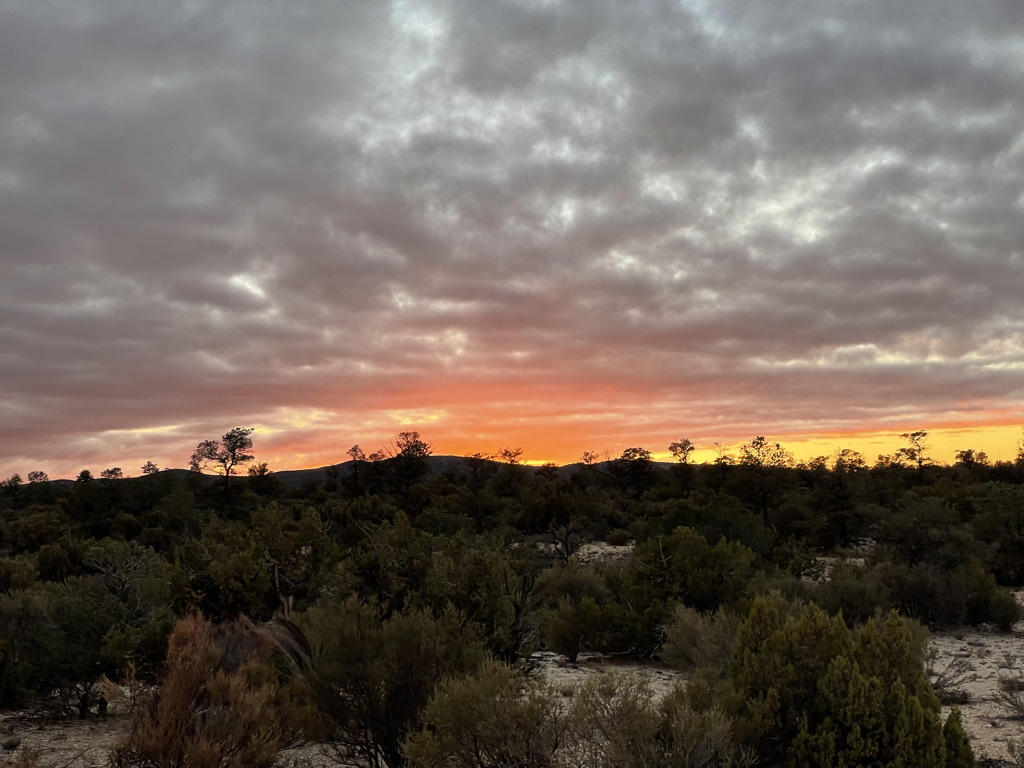
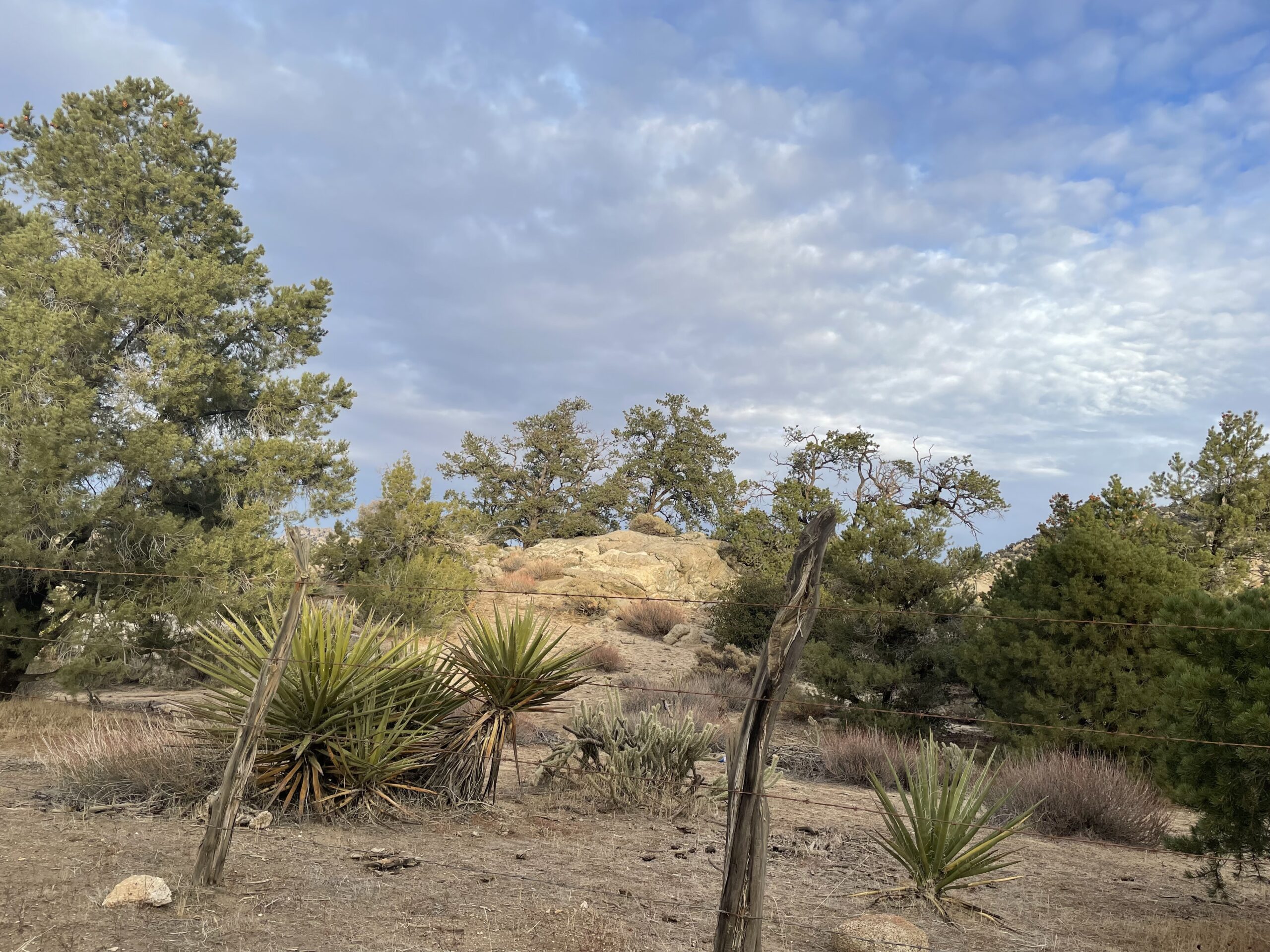
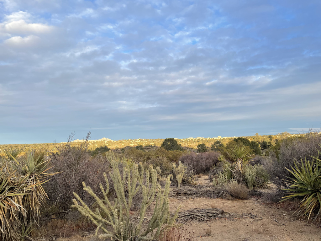
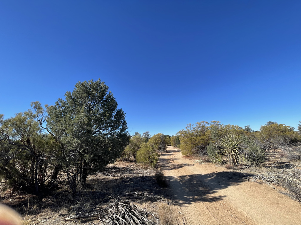
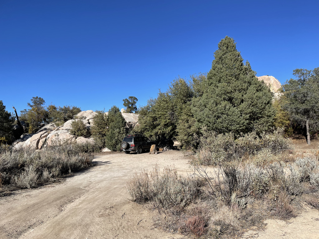
The chaparral is beautiful, maybe more so than years ago. There’s practically no trash, the plants are healthy, the tracks narrowed by new growth and I pick up lots of new ‘desert pin-stripping’ as I scratch my way along. I’m pleased and surprised and have a very enjoyable time searching around in the last light for clues to locate either Canyon Tajo or a camp site. I settle for a camp site. Heat some soup and call Carolyn on my rented satellite phone. I rented the phone in case of emergency and partly because I wanted to see how well it worked. It basically worked but I found it difficult to have a relaxed conversation. Talking over the connection with multi-second round trip delays and dropped frames is an acquired skill. Plus I was really chilled. The temperature quickly dropped to the mid 30s. That’s not all that cold but I felt extra cold with teeth chattering like crazy. So we had a short call and I crawled in the back of the Landcruiser, read a bit and went to sleep.
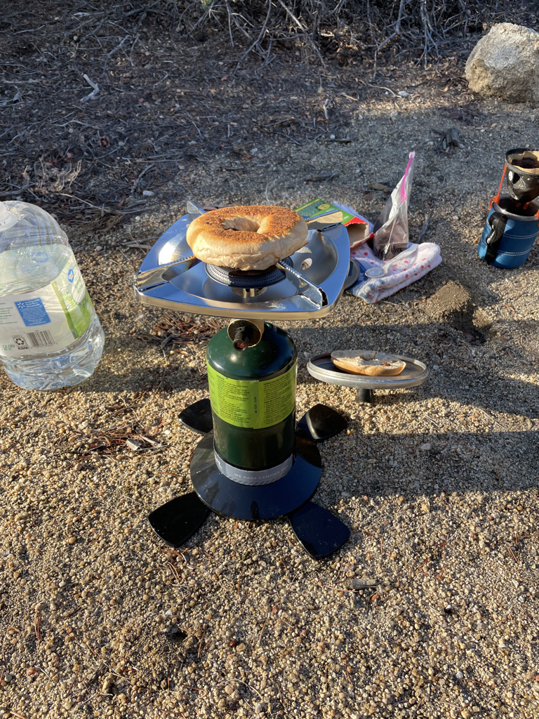
In the morning I make some coffee, toasted a cinnamon raisin bagel and eat it with avocado slices. I know that sounds strange but it works well.
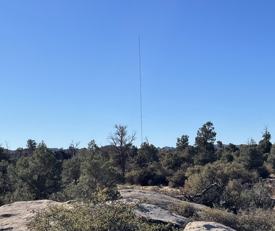
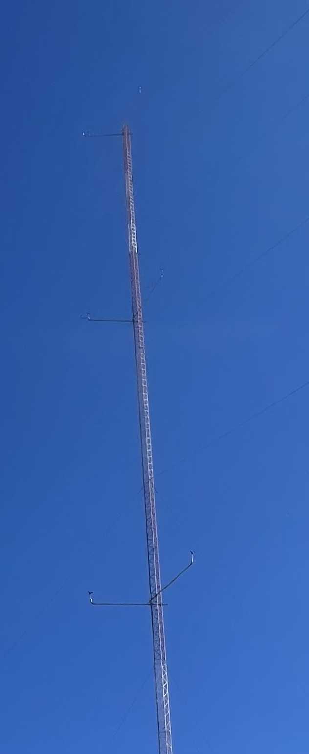
Looking around I see a strange site not far away. It looked like a large radio transmission tower. I head over that way to get a closer look. The tower is collecting wind data at a variety of different elevations. No clue who put it out here all by itself.
Anyhow off to find Canyon Tajo in the morning daylight.
Yea, success!
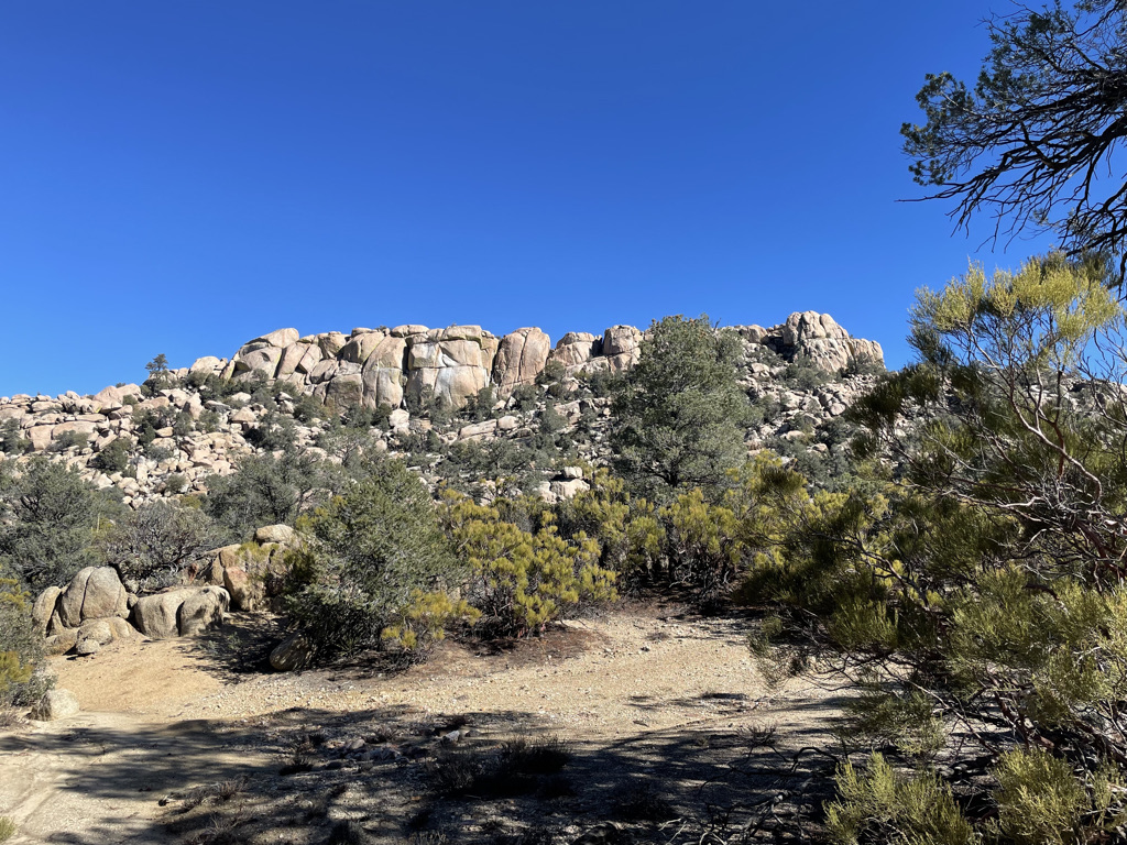
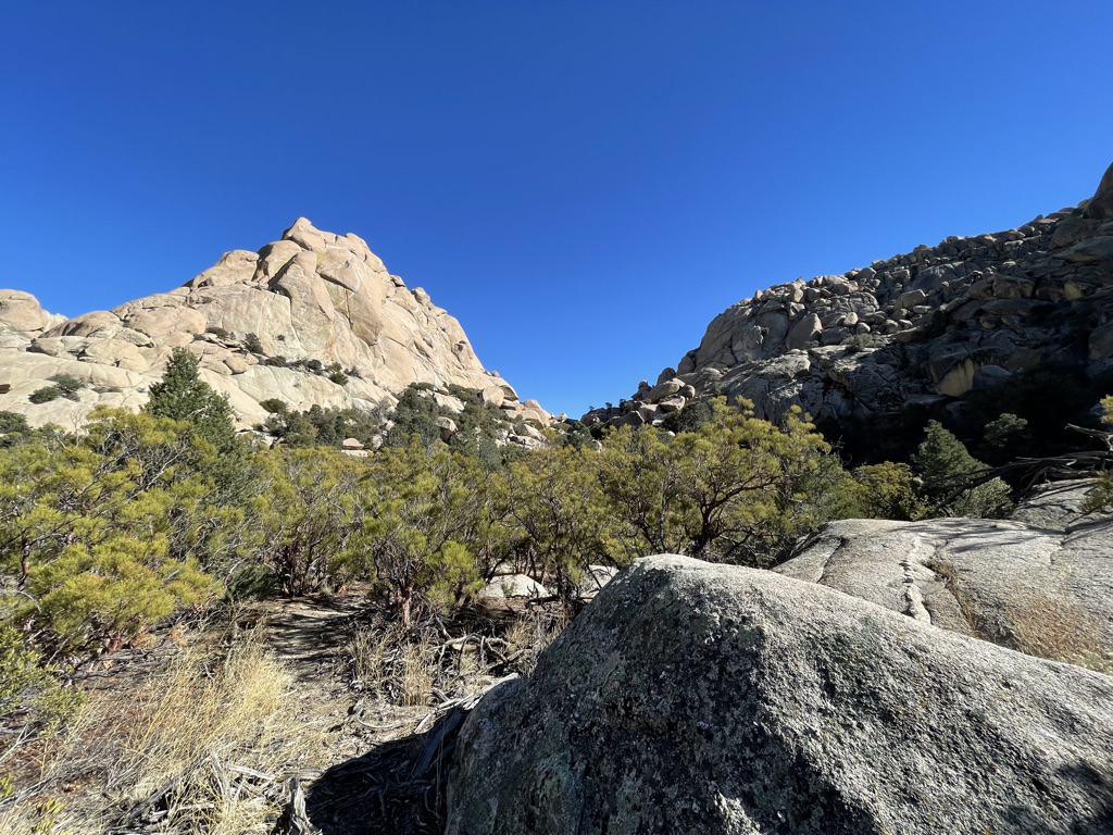
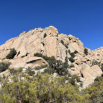
We call this Canyon Tajo but its actually the top of the canyon, the actual canyon heads down to the desert from here. See that prominent dip in the skyline? That’s a saddle and on the other side the elevation quickly falls to sea level where there’s a dry salt lake ‘Laguna Salida’. If you reflected the Salton Sea across the border it’d land at Laguna Salida.
Here’s another shot of the saddle. I decide to climb up the saddle to get a view of Laguna Salida.
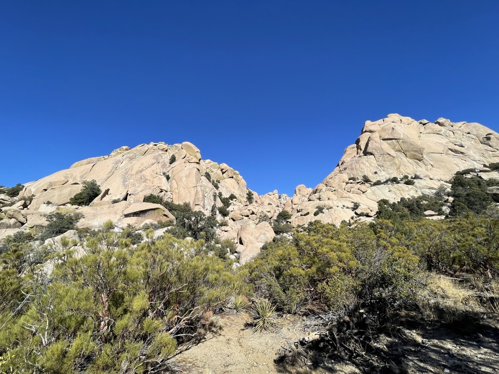
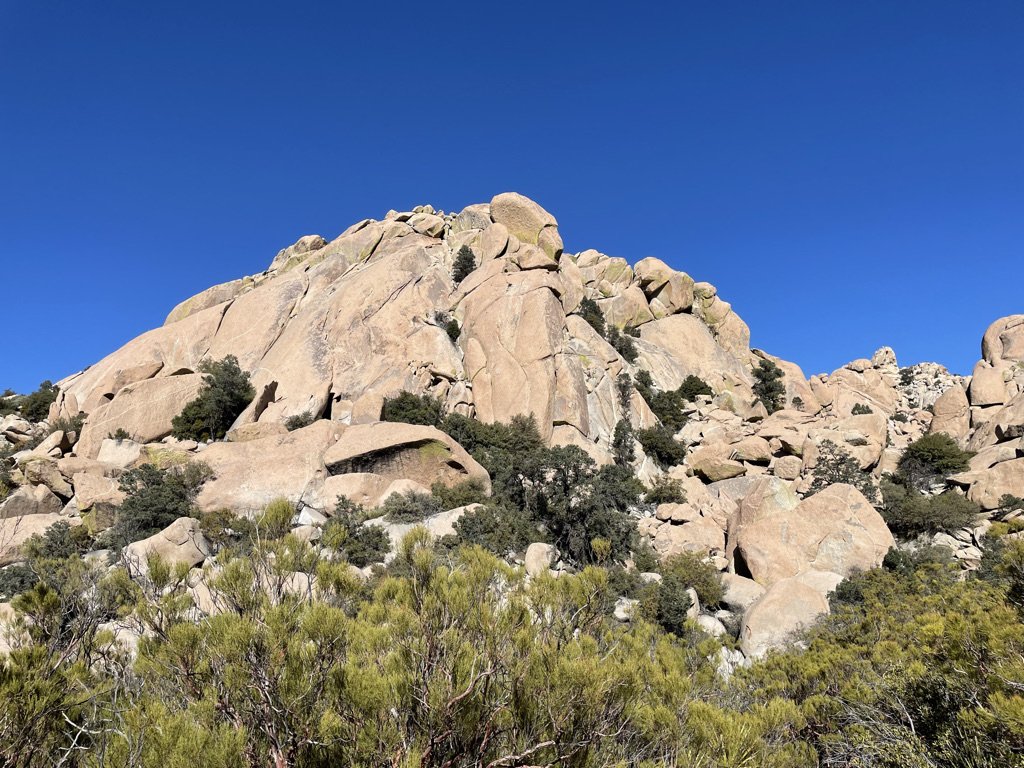
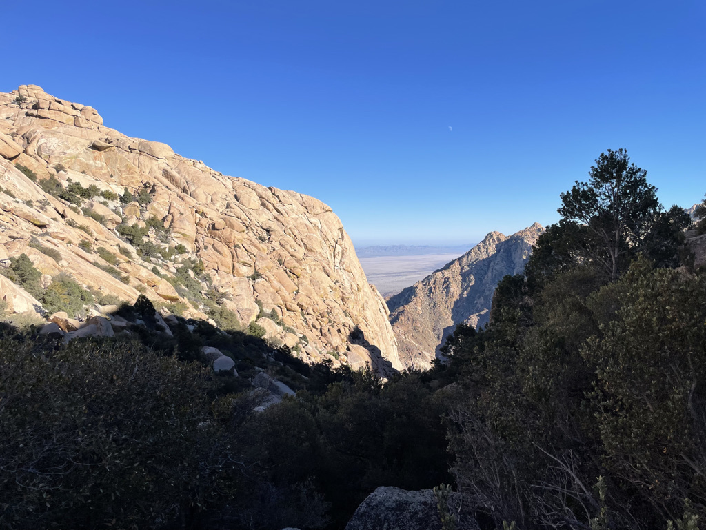
Looks easy right? I went up on the north side (left) and it was pretty scary. Many of those boulders are diameter 10 to 20 ft so climbing isn’t just stepping up a talus rock fall. I made it up but was quite doubtful I could down climb the same path. The view was great though, from the saddle I could see the desert floor and catch a glimpse of the Sea of Cortez.
Many years ago Sid, Tom and I drove to the desert floor and started hiking up Canyon Tajo (the canyon heads straight down the central view of the photo and then veers off to the left to the desert floor. Anyhow the ascent took longer than we expected and we had to bivouac half way up. As the sun went down it got cold and while we had some matches there wasn’t any wood around. Looking up the canyon wall I spotted a palm trunk that had been washed down the canyon during a flood and got stuck in a crevice. It was only 15 or 20 ft up the wall so I climbed up and dislodged the trunk. We then started a fire and it burned well for awhile but late at night the fire got quite small. We were all snuggled up close facing the fire and Tom rolled over to warm his back. He asked Sid to put him out if he caught on fire. Sid replied “That depends on how well you burn.” One of his better lines. Sid – my memory being what it is I wonder how accurate that sounds to you? The next morning we continued the hike up the canyon and must have passed within a few feet of where I was now standing. I shot the above photo and started descending, this time on the south side of the saddle and was very relieved to find it an easier path.
From the saddle I’d seen one party climbing some route but never meet them or saw their camp. On the way down I passed two Tijuana couples setting up camp. The guys spoke English and invited me over for a beer. Very nice folks.
My memory plays all sorts of tricks. The shape of the remembered rocks was different from what I now see. The camp site we stayed at several times was beneath a large pine tree and now its an oak :).
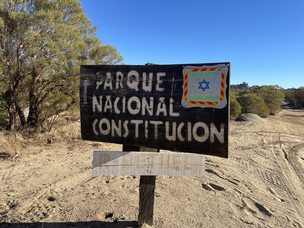
Next I head back to the main road and towards el Parque Nacional Constitución de 1857 to visit Laguna Hanson. I say many signs advertising R- Bethel which I took to be some kind of Jewish retreat but I never found the actual place. The signs continued right up to the park entrance then disappeared. I think the retreat was down an untaken dirt track just prior to the park.
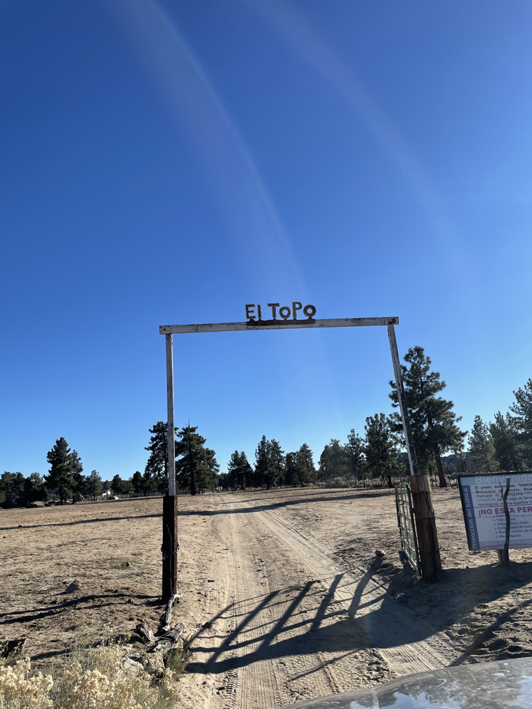
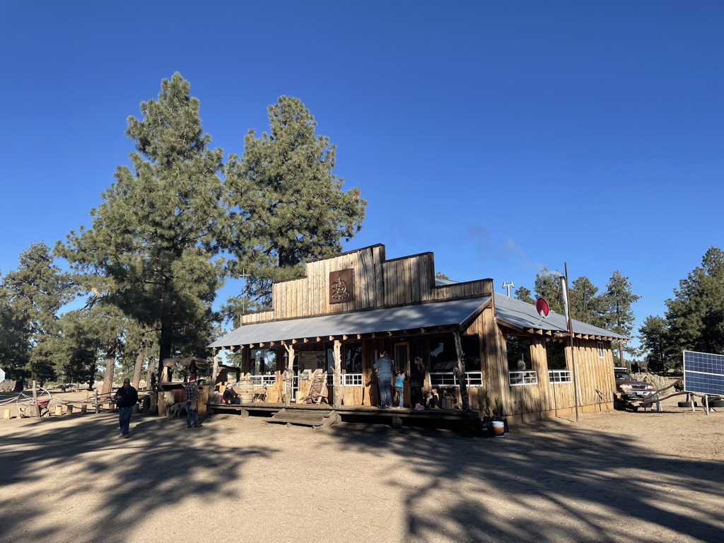
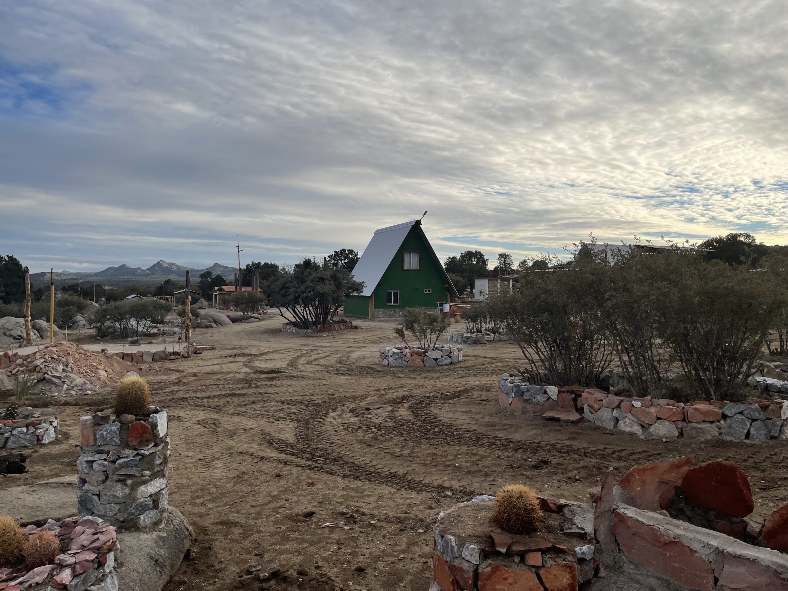
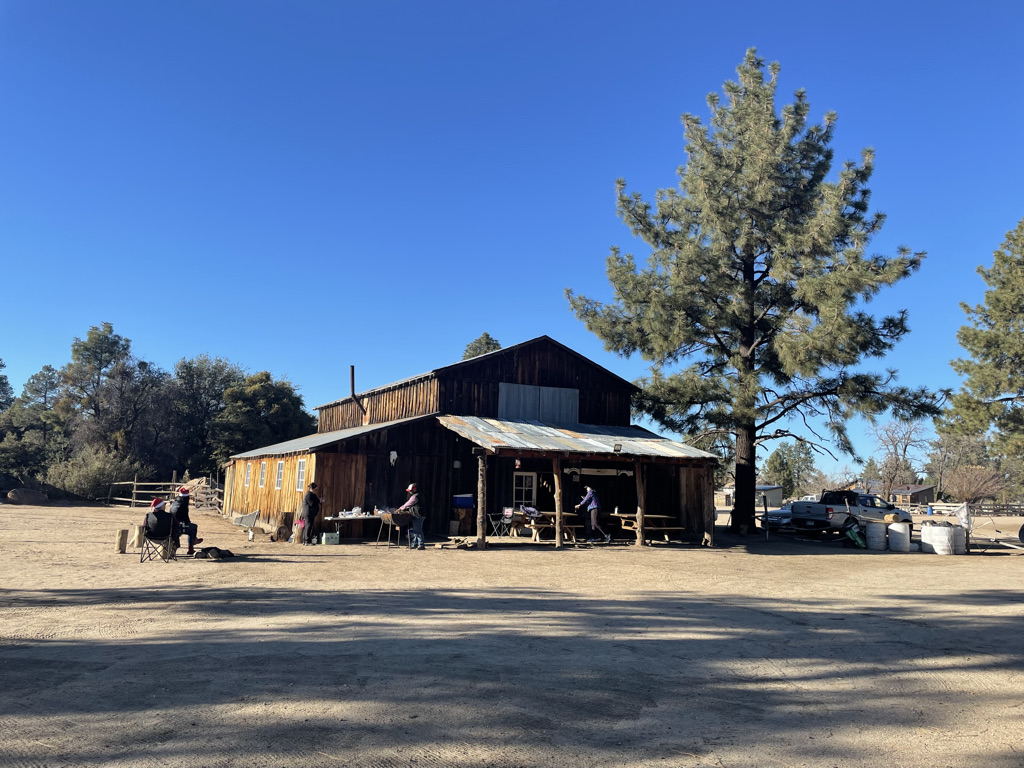
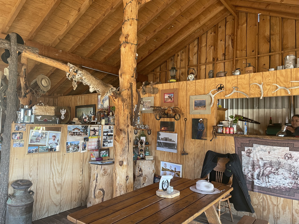
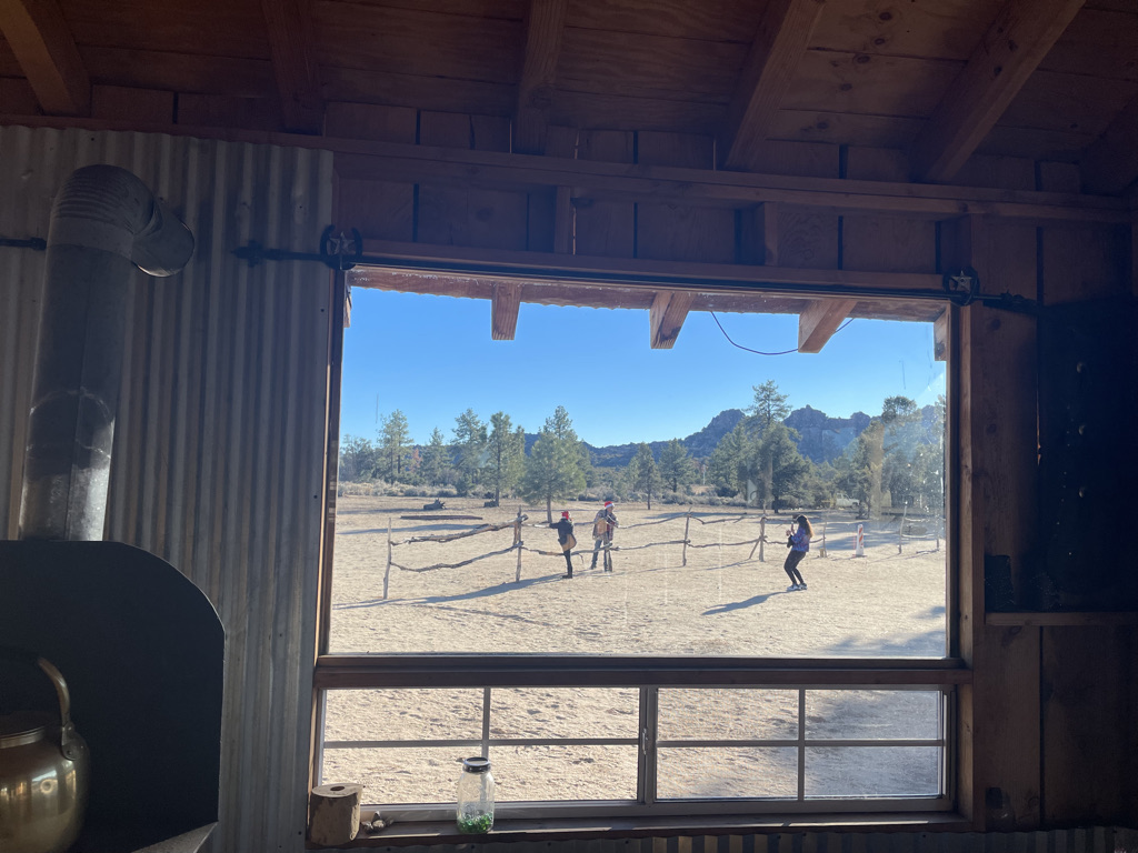
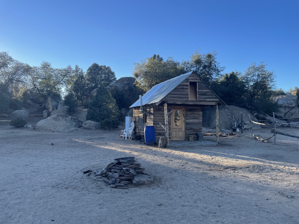
Beyond the first few miles out of La Rumorosa things haven’t changed much. Very good news. I did come across one new place and it was a nice addition – Rancho El Topo. I drove in to visit and found it an interesting place. Its a kind of combination dude ranch and rodeo training site. El Topo has three ‘rooms’ for rent holding 2, 4 and 20 people. They have a ranch house that serves coffee and carne asada so I stop for lunch. There was a Mexican family vacationing there, maybe 10 people all wearing Santa hats and walking around taking pictures of one another.
Next stop the park and Laguna Hanson. The trees look strong, the chaparral healthy but the lake is dry! When I was here last it was wide and blue. Disappointing but not surprising given that our long drought hasn’t spared Baja. By the way, the nights here and at Canyon Tajo are well below freezing and the puddles from a recent light rain are frozen over making a satisfying crunching sound as I drive.
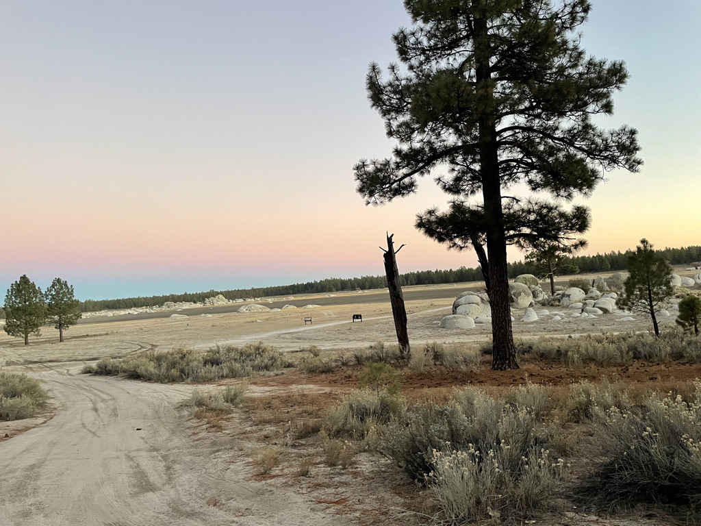
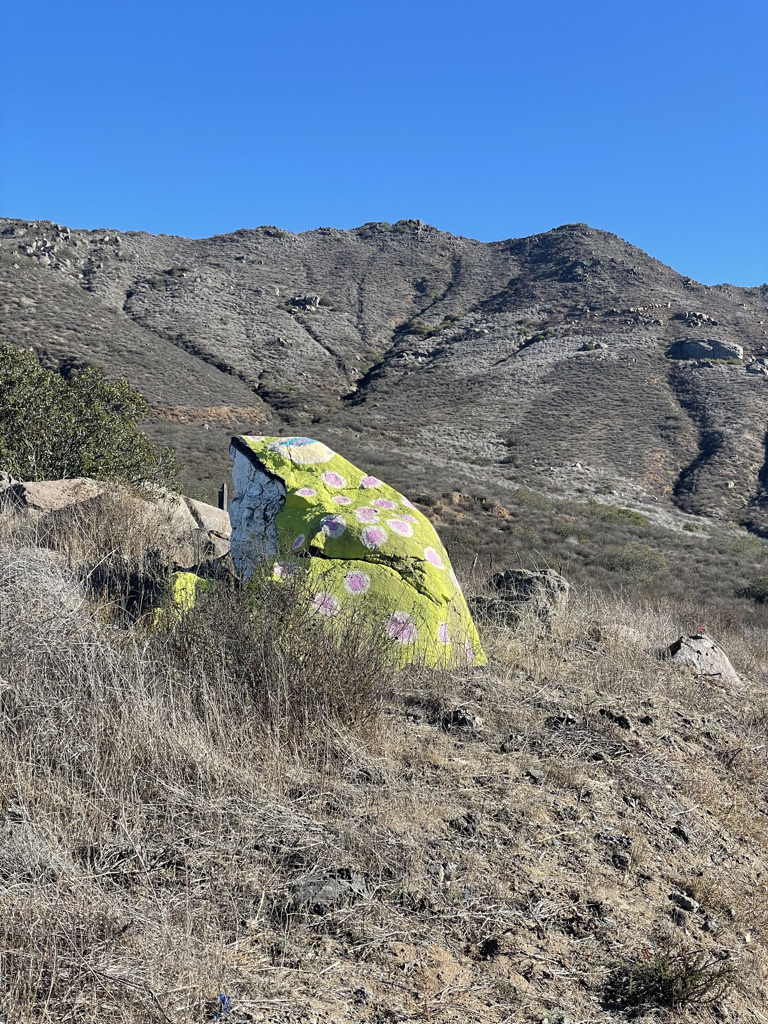
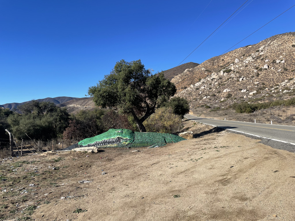
The park is set up for family camping and has a large number of camp sites but I avoid those and find a nice little track that heads out of official camping area to spend the night. The next morning after breakfast I head out for San Pedro Martir. Along the way I’m pleased to find big road frogs! Long ago there was an artist in Ensenada that paints frogs on big roadside rocks. It looks like he’s still around or maybe a successor has taken over. They’ve even branched out to gators. The shot after the obvious roadside gator is the backside of its rock.
A final note. Over this trip I was stopped by the Mexican military several times. Though they were always polite and professional though I was twice given a thorough search. I didn’t feel singled out as others were treated the same. In populated areas other authorities were also active – traffic stops, fire engines, ambulances and municipal police. Through Rosarito and Tijuana the traffic was crazy – cars, trucks, bicycles, pedestrians seemingly flowing at random. Then immediately after crossing back home I was caught in stop and go freeway traffic. I suspect the throughput of the freeway was higher than that of Mexico but the feeling was different. One a resigned hopelessness of plodding traffic and the other a chaotic hopefulness. Not unlike India in that regard.
Related Posts
-
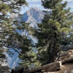 Sierra de San Pedro Martir
December 14, 2021
Sierra de San Pedro Martir
December 14, 2021
-
 Finding Canyon Tajo
December 10, 2021
Finding Canyon Tajo
December 10, 2021
-
 Baja Bound – Day Three
March 31, 2021
Baja Bound – Day Three
March 31, 2021
-
 Baja Bound, Day Two
March 31, 2021
Baja Bound, Day Two
March 31, 2021